Explore Mount Royal to Inglewood as a lone Wolfe or as part of a pack!
This urban experience is under 8km and travels between two public art installations. The guide highlights aspects of the city’s heritage, featuring art, architecture, and green spaces. It should take under 30 minutes by bike, but remember, this is not a race.
You will travel a mix of multi-use pathway and roadway. Please be aware of other users and proceed at your own risk. You are responsible for your own safety.
General James Wolfe
You start and end at two bronze monuments of British army General James Wolfe. The original was created by John Massey Rhind in 1898. It was a gift to the City from Glenbow founder Eric Harvie.
The first bronze monument was installed in the community of Mount Royal in 2009. The second was inspired by the original and was placed in Inglewood in 2019.

General James Wolfe was a British army general. He led the British army to victory over the French during the Battle of the Plains of Abraham in 1759. The battle took place on a large plateau just outside the walls of Quebec City.
Both Wolfe and Marquis Louis-Joseph de Montcalm, who commanded the French troops, were mortally wounded. The battle led to the capture of Quebec. France eventually surrendered all of Canada to Britain in 1763, as part of the Treaty of Paris.
The French surrender to the English unified a country with both sides integrating into Canadian culture as settlers moved west.
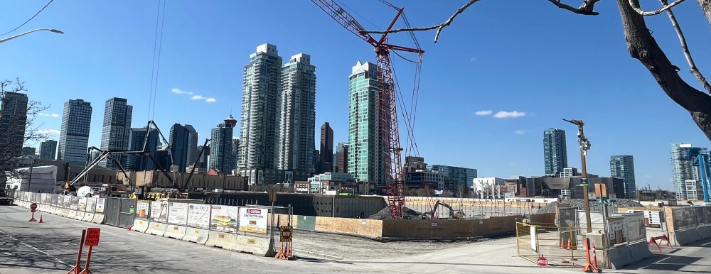
Mount Royal
The community was conceived as an elite residential area by the Canadian Pacific Railway.
Architectural controls were placed on properties to ensure a prestigious standard of living. A few of the most elegant examples were built in the early 1900s. These can be seen on this tour along Prospect Avenue. Links to the Inventory of Historic Resources can be found on the map at the end of this guide.
In the early days, the community was referred to as American Hill. The name reflected the entrepreneurs from the U.S. who built many of the first homes.
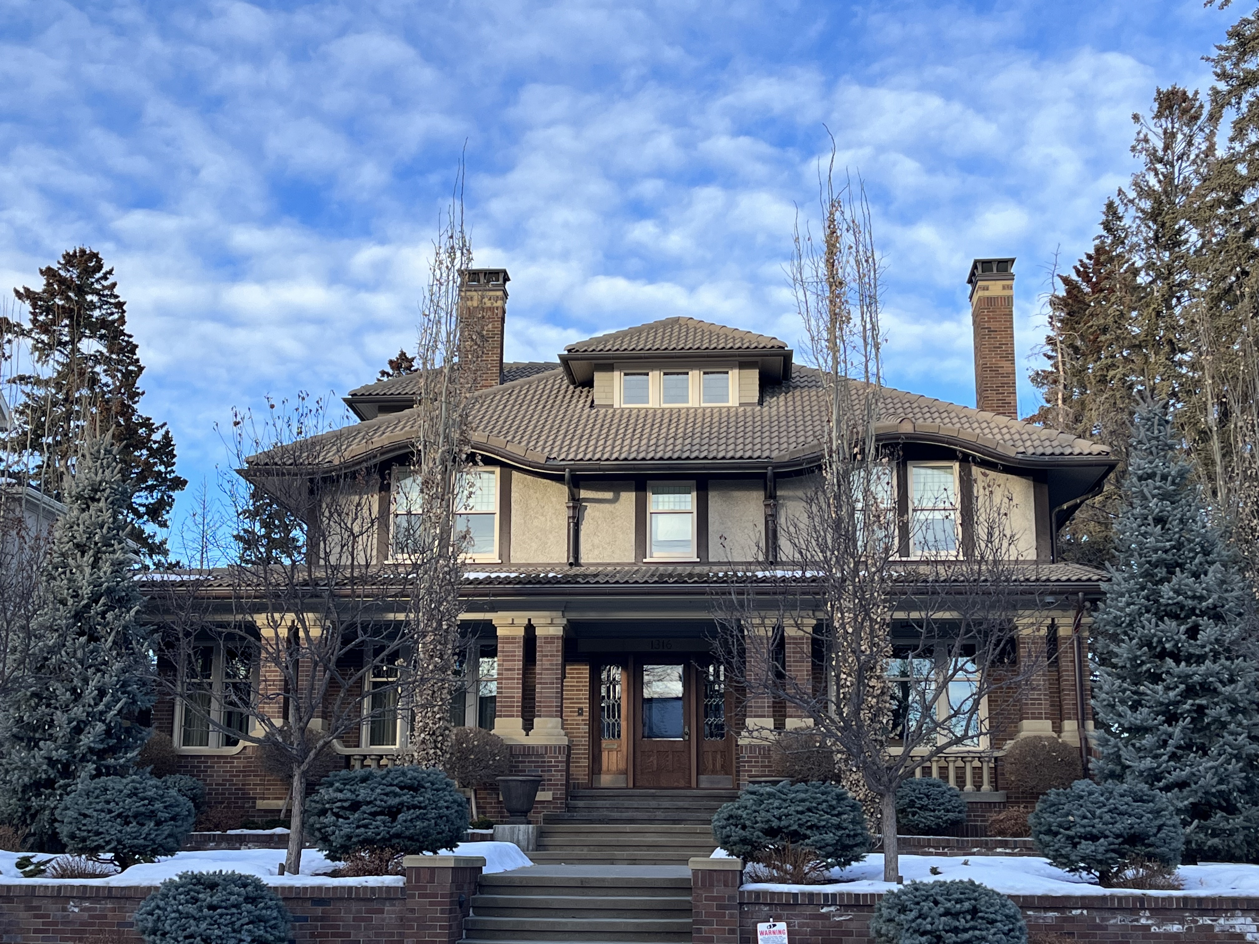
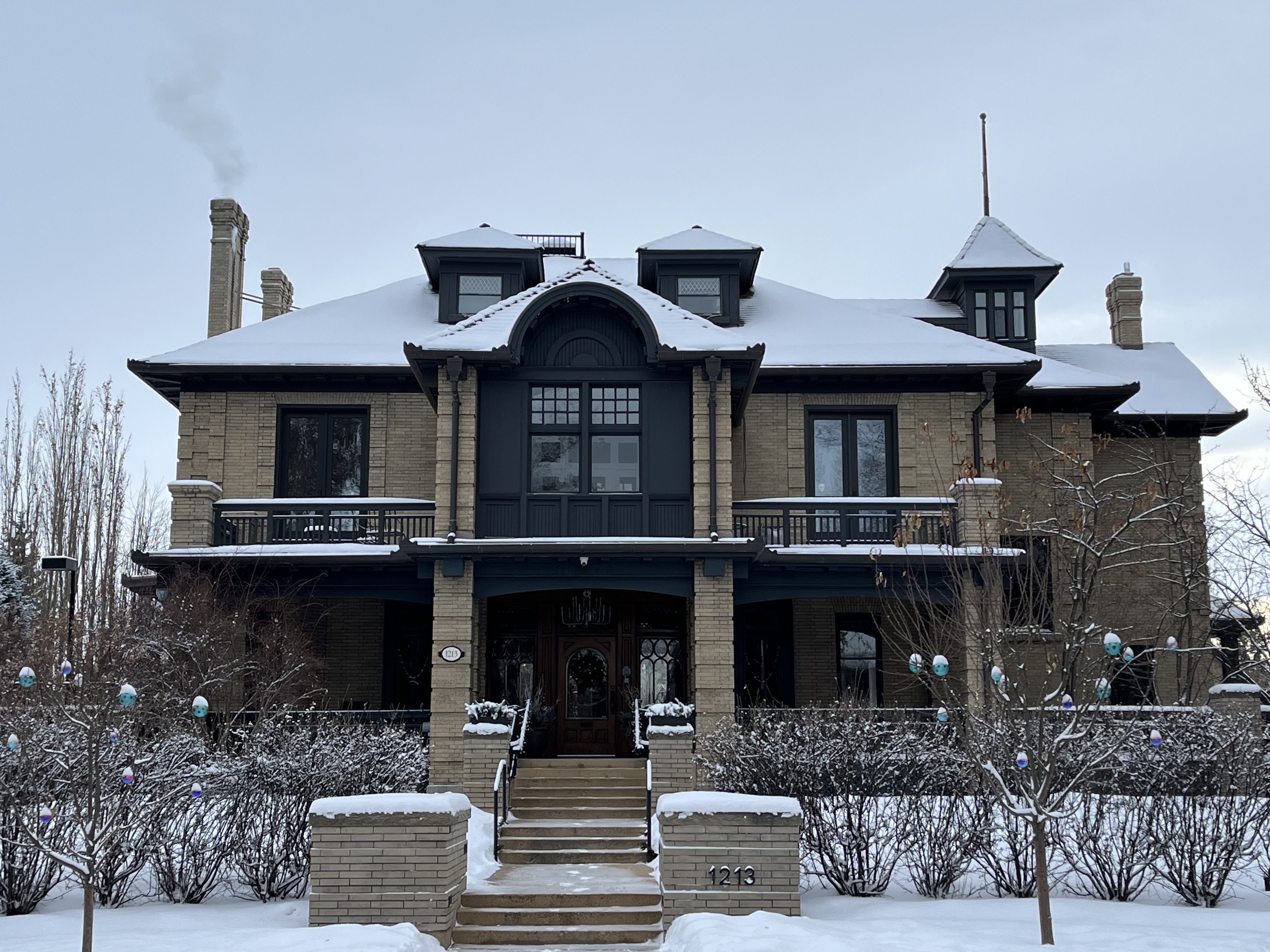
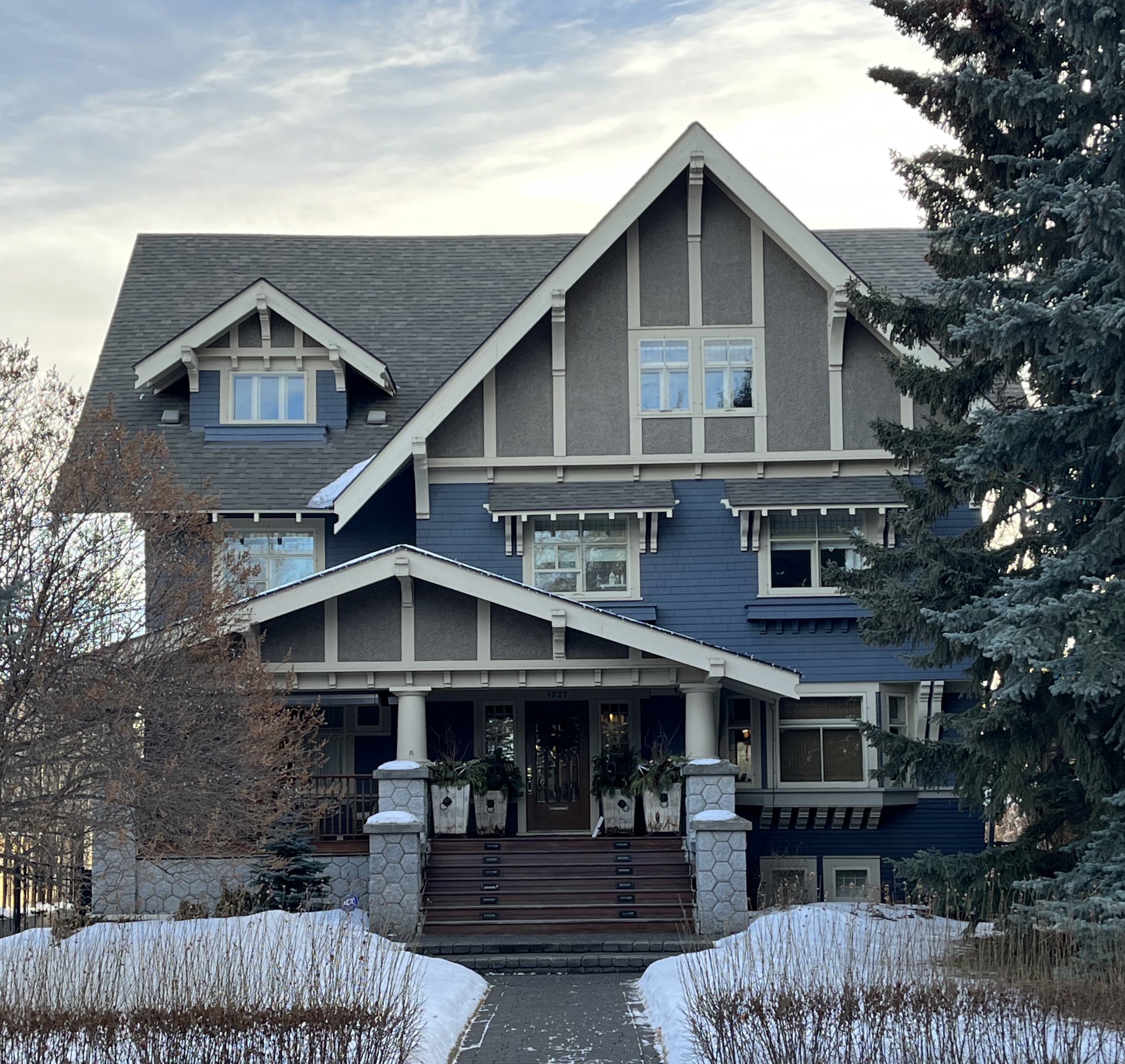
It was named Mount Royal in 1910 after the Montreal district where CPR president William Van Horne lived. Influential citizens led by future Prime Minister R.B. Bennett and Sir James Lougheed called on the CPR to introduce a designation that better reflected Canadian culture.
The plan for South Mount Royal was registered in 1911, featuring street names of prominent French Canadians. South Mount Royal Park is outlined by Wolfe Street, Quebec Avenue and Montcalm Crescent. A fitting place for a monument of General Wolfe.
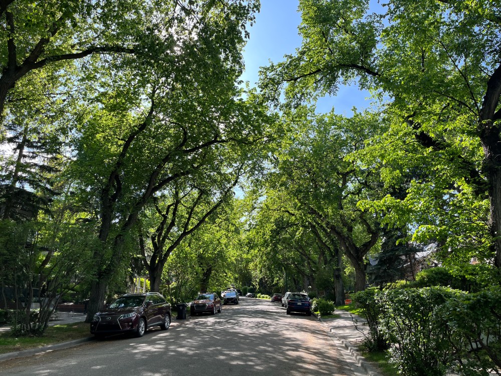
Quebec, Montcalm and Carlton Avenues are all lined with Green Ash trees. This urban forest was planted by William Reader, the city’s most influential Parks Superintendent, between 1929-30
Frontenac Avenue features streets lined with mature American Elm trees. Along with neighbouring Montreal Avenue, they are some of the most picturesque streets in Calgary.
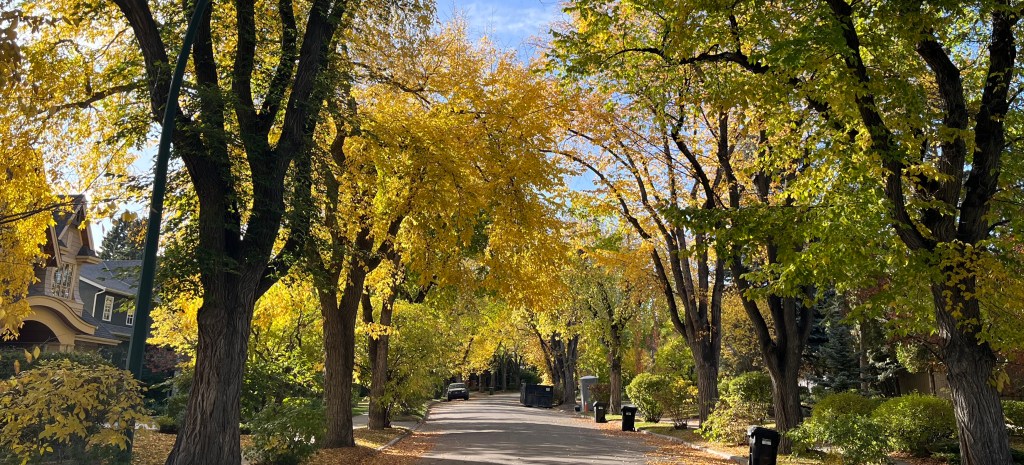
The landscape was inspired by the City Beautiful movement. It was intended to improve the quality of life for inhabitants by creating a “park-like” urban environment. Streets followed the contours of the topography, and lots were situated to make the most of the view.
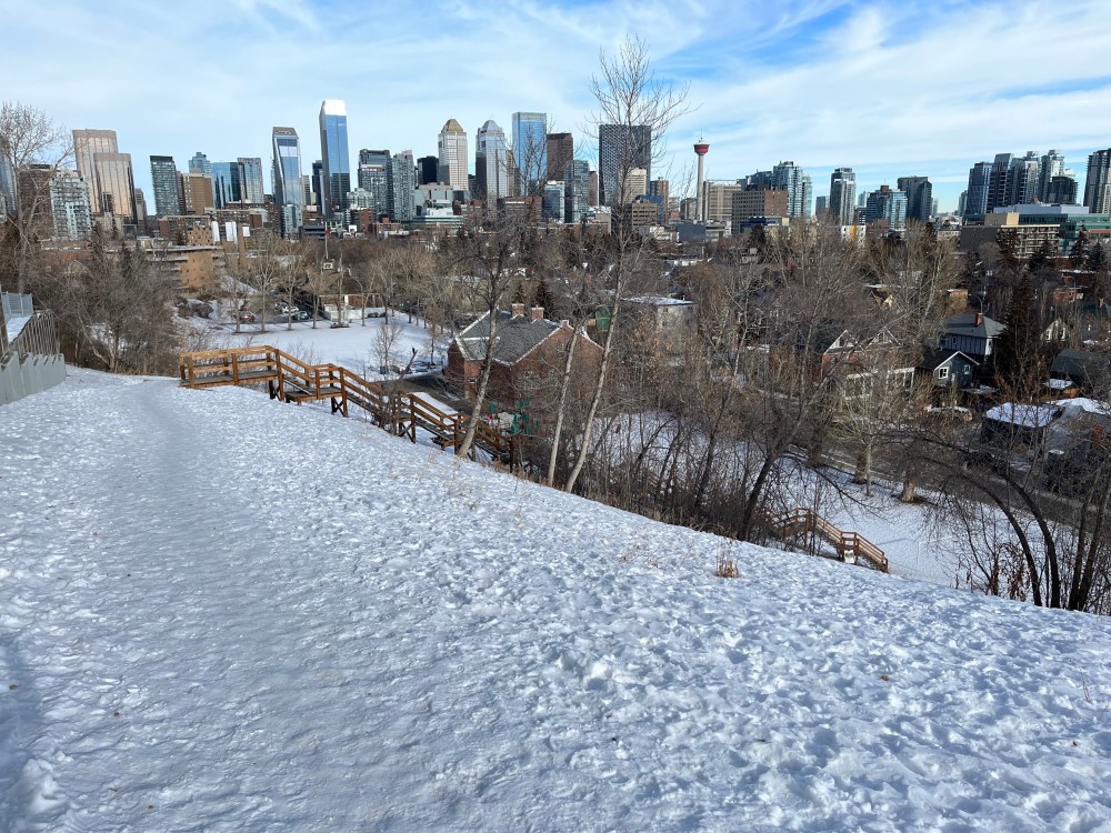
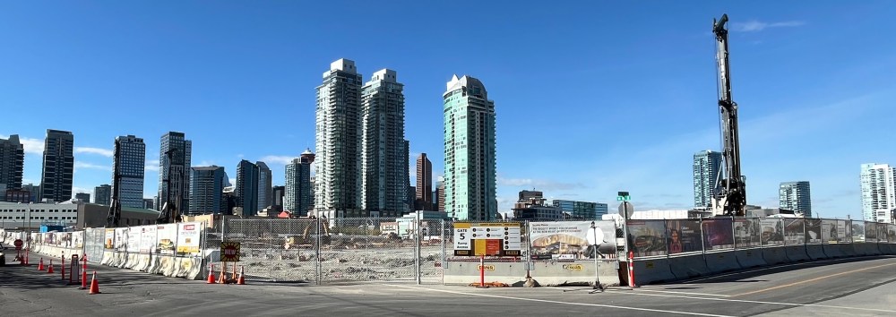
As you leave the community, you see an example of these sight lines. Take in the view of the city skyline at Evamy Ridge. At the bottom of the park are two heritage schools built in a style unique to Calgary. Learn more at: Benefits of Urban Hiking | Evamy Ridge -Stepping it Up.
Safety Note: There is no sidewalk, so be mindful for vehicles. You will be traversing an active roadway until you reach Lindsay Park.
MIssion
Following the map, you head east to arrive at the next urban lookout. It is located on Fourth Street in the Mission, Cliff Bungalow, and Beltline communities. It is best known for hosting the Lilac Festival, which attracts thousands of Calgarians every spring.

Van Gogh Obverses is in front of the Master’s Gallery at 2115 – 4th St. It employs a technique of illusionism known as “hollow face.” The portrait of Van Gogh is captivating as it seems to be observing you as you pass by on the street. Learn more about this destination at Van Gogh Observes Fourth Street.
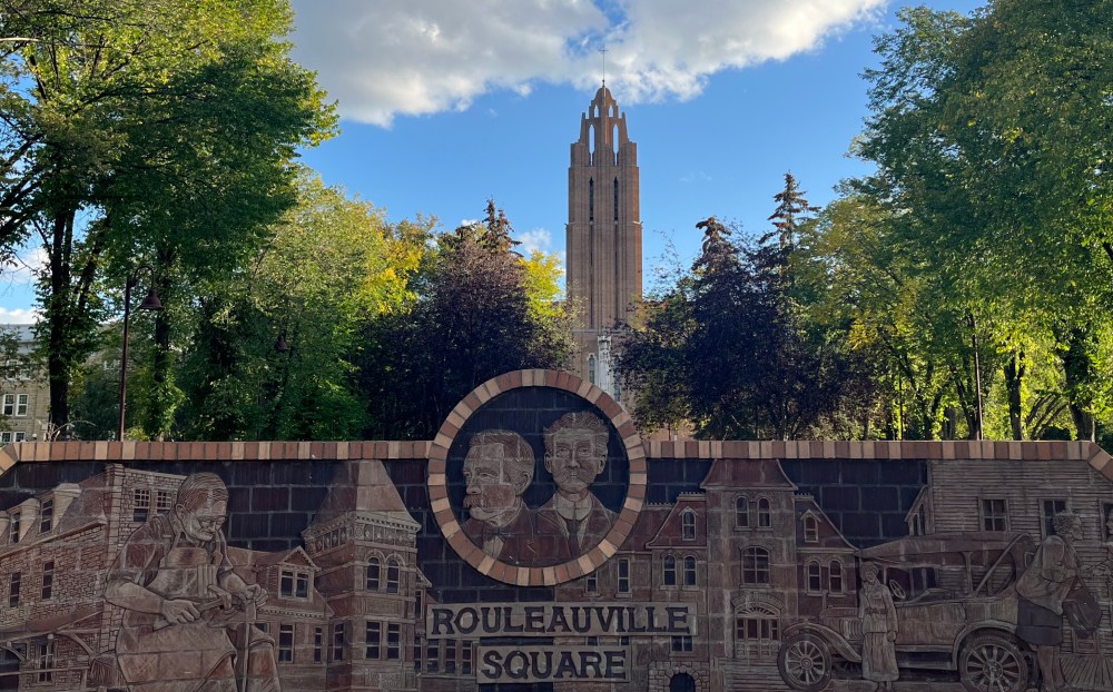
Before being annexed in 1907, the community of Mission was the French settlement of Rouleauville.
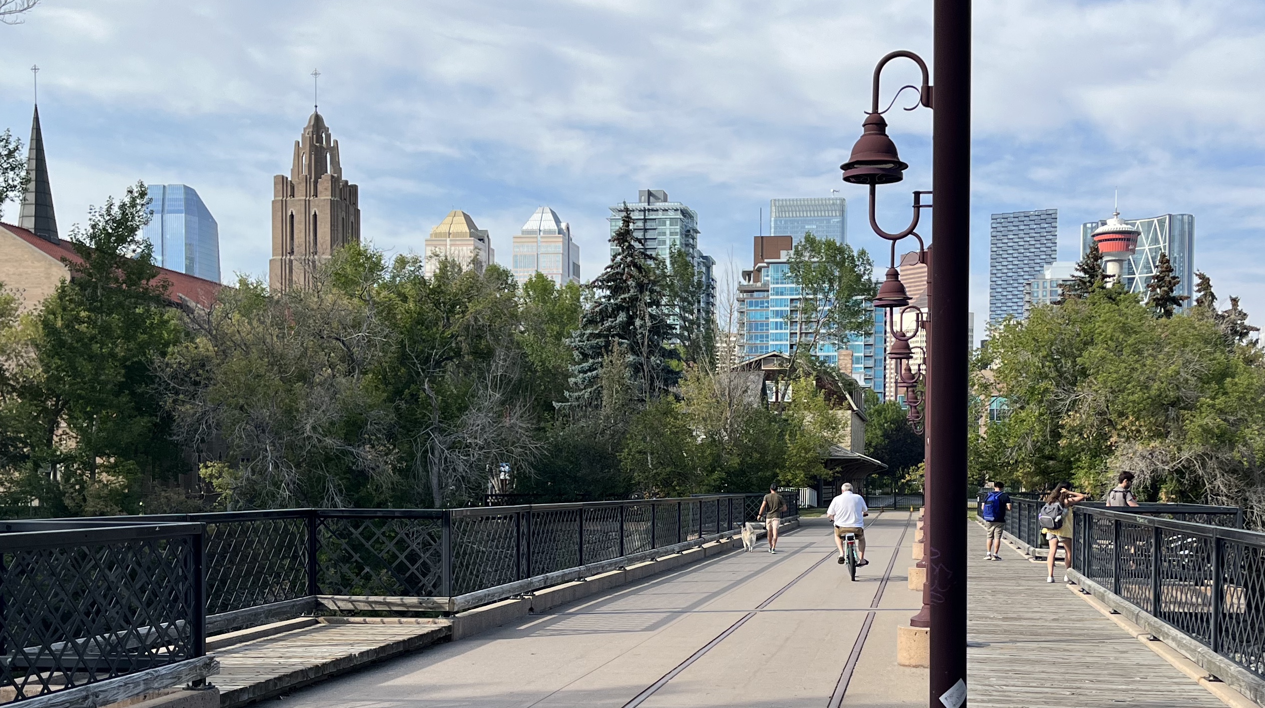
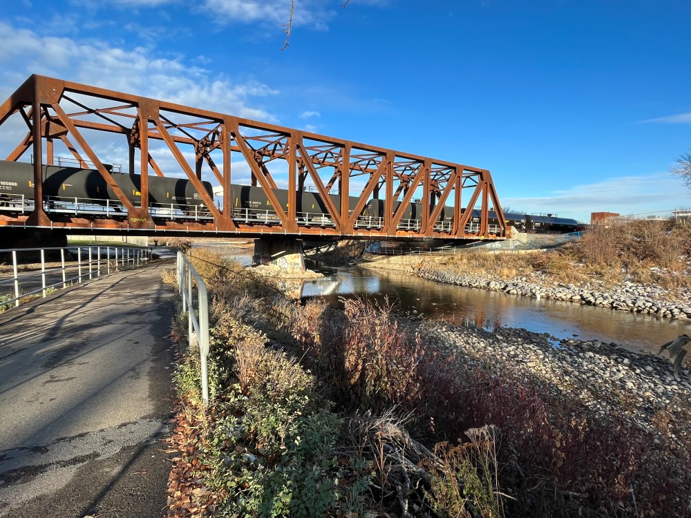
As you cross the Elbow River and enter Lindsay Park, you are surrounded by urban forest. Follow the pathway until you see an awkwardly placed steel girder bridge.
Its scale hints at its history as an integral part of the Canadian Northern Railway line. A key contributor to the early economic prosperity of the city.
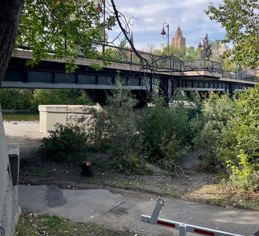
The bridge, built in 1913, was converted into a pedestrian bridge by the City of Calgary in 1999. The stairs to the open deck reveal rail tracks and connect multiple landmarks to the park. St. Mary’s Cathedral, Parish Hall and Sacred Heart Convent endure as part of the legacy of the original community.
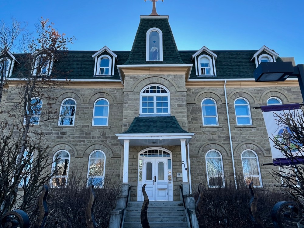
Built in 1905, the St. Mary’s Parish Hall was the center of the social and cultural life of the community. The Canadian Northern Railway purchased it in 1911.

They transformed it into a passenger rail station that operated from 1914 to 1971. The Calgary City Ballet moved into the building in 1982, returning it to a community hub.
The hall is an example of the sandstone construction era. The stone was abundant in Calgary. It became widely used after a fire in 1886 destroyed a significant amount of the wood building stock.
Learn more and vote for your favourite building at Sandstone City Legacy.

Sacred Heart Convent is not far away. Constructed in 1884, it’s valuable to our city’s heritage for more than just its sandstone. It is also important due to its association with the Order of the Fideles Compagnes de Jésus. The Faithful Companions of Jesus established the first francophone and Catholic education systems in southern Alberta in 1885.
Staying on the path through Lindsay Park and under Macleod Trail, you arrive at Stampede Park and your next destination.
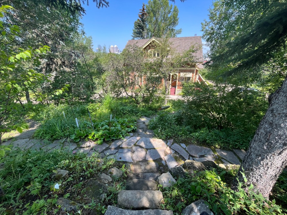
Reader Rock Garden
Across from Stampede Park, this hidden gem can be a little tricky to get to, but it’s worth the effort. At the lights, cross the street and the lawn to arrive at Reader Rock Garden.
Originally, this was bare hill on a prairie where many thought little would grow. It was instrumental in testing gardening principles and educating about the horticultural potential of the area.
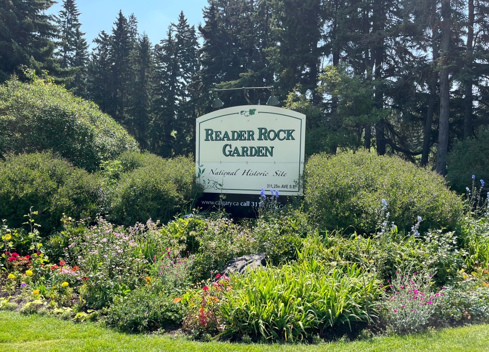
This space transformed into an internationally praised garden and national historic site.
Testing varieties of over 4,000 plant species to see what will survive in the harsh climate. Through his passion and skill, he turned Calgary into what became known as the “garden city of the West.”
Check out the gardens and the replica home of William Roland Reader. He was the city’s most influential Parks Superintendent, serving from 1913 to 1942. He was internationally renowned, acquiring seeds and plants from around the world.
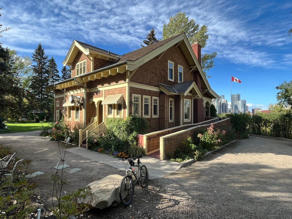
You can see his impact throughout the city, including many of the tree-lined streets in Mount Royal. Learn more about this space by exploring Urban Hike for Halloween | Reader Rock Garden.
Culture & Entertainment District
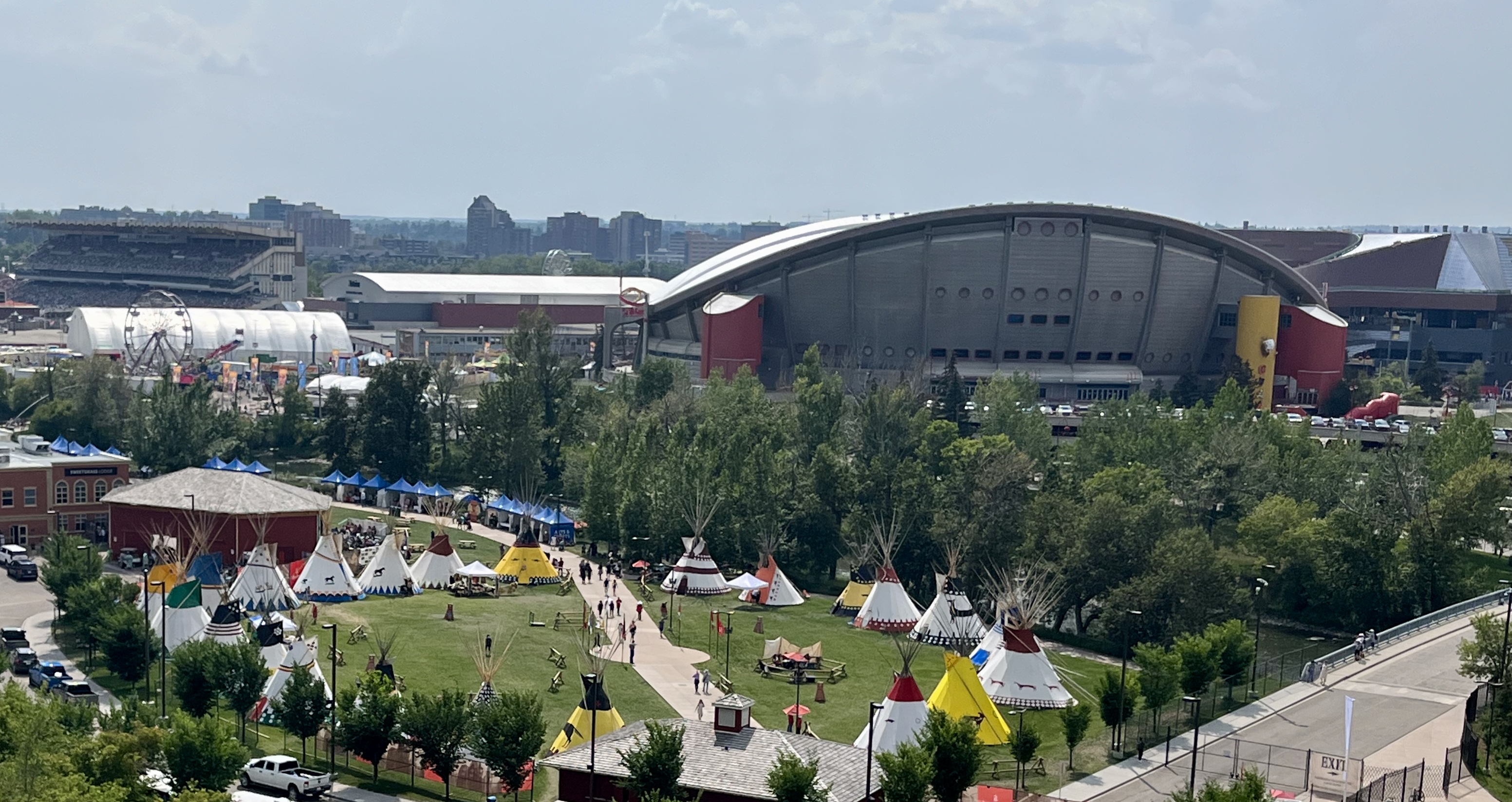
Back on the pathway, follow the map that will take you along the Elbow River and around Stampede Park. You will arrive at another public art installation, Tipi.
Explore the history and the future of Calgary Culture and Entertainment.
The semi-circle art installation was unveiled by the Victoria Park Station entrance in 2012. The Calgary Stampede centennial year celebrated the relationship between First Nations families from Treaty 7 nations and the Calgary Stampede. It was relocated closer to Elbow River Camp in 2022.

From here, you have two paths for exploration:
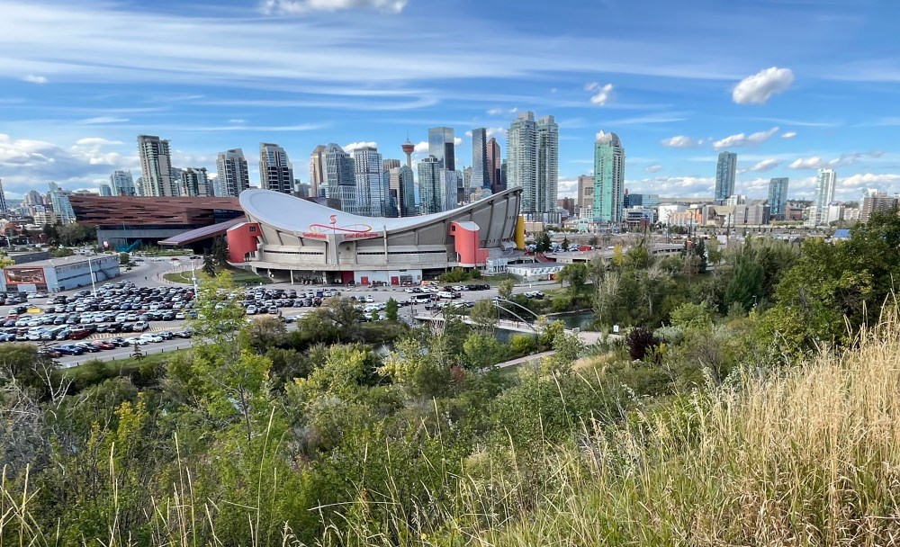
OPTION 1 – The Future. Follow the map and cross the Elbow River. From here, you can explore the plan to create a new Culture & Entertainment District. Anchored by the new $1.22 billion Scotia Place, it will transform Victoria Park. In this evolving landscape, the Saddledome appears destined for demolition. Learn more about this iconic venue at Evolution of Stampede Park | Saddledome.
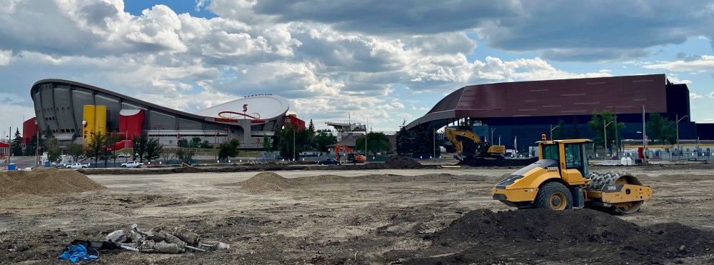
Remember, this is an active construction site, so be aware of your surroundings. As you turn the corner, you will find the Rundle Ruins. These sandstone remains are the remnants of Calgary’s Second General Hospital, built in 1899.
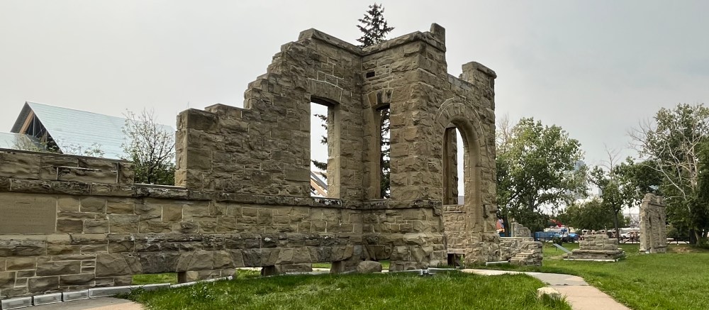
This is a great opportunity to reflect on what buildings we should preserve as part of our heritage. Urban Exploring needs to look beyond abandoned ruins at the many elements that create great urban places. Learn more at What is Urban Exploring | Rundle Ruins.
OPTION 2 – Our shared heritage. Stay on the path along the river in ENMAX Park. A 16-acre green space and home to the 650 metre-long Cenovus Legacy Trail. It features markers that tell the story of the land through the lenses of First Nations People, Calgary and the Stampede.
Both options will lead you to the underpass to Fort Calgary at the confluence of the Bow and Elbow Rivers. If you choose option 2, you might enjoy: Biking Mohkinstsis | The Elbow River– Where Calgary Comes Together. This guide explores spaces where people have traditionally gathered and how cultures often develop through a connection to the land.
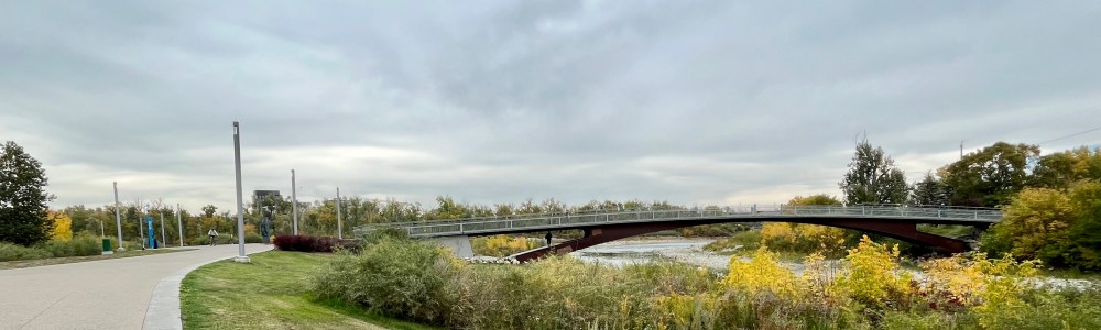
As you emerge, turn right and cross the bridge and finish the final leg in Inglewood.
Inglewood
Explore the community of Inglewood. This destination for culture and recreation is walkable and bike-friendly. It is an urban sanctuary, offering space to preserve our shared heritage and the environment. To learn more, check out Inglewood – Urban Sanctuary.
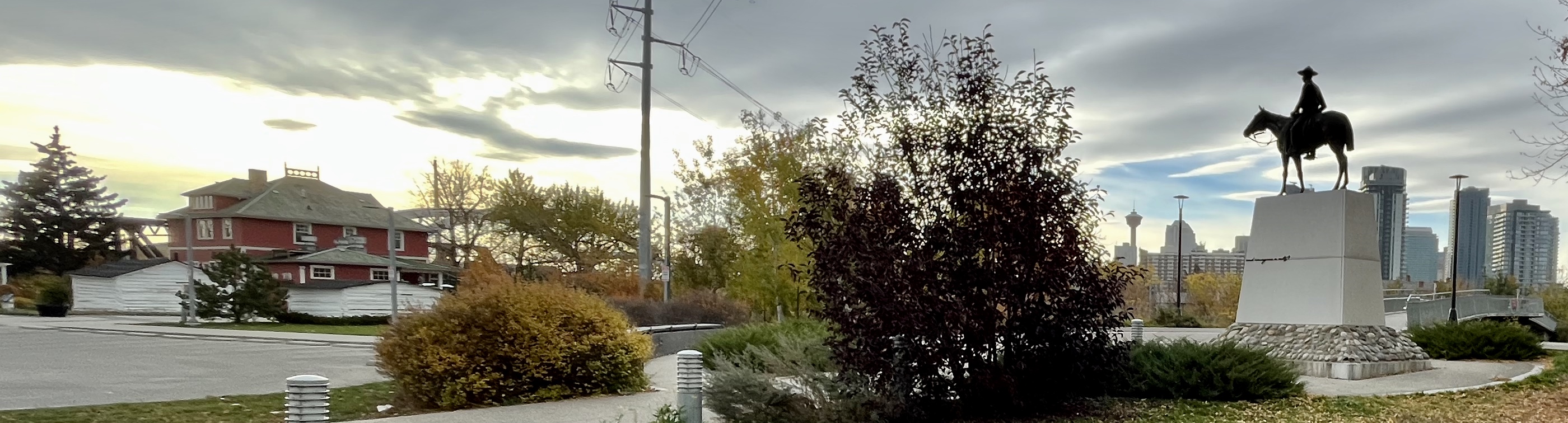
Go over the bridge to the right. You will find the oldest building in the city. It is still in its original location. The Hunt House is a tiny log cabin built around 1876 and 1881. It is behind the more prominent Deane House.
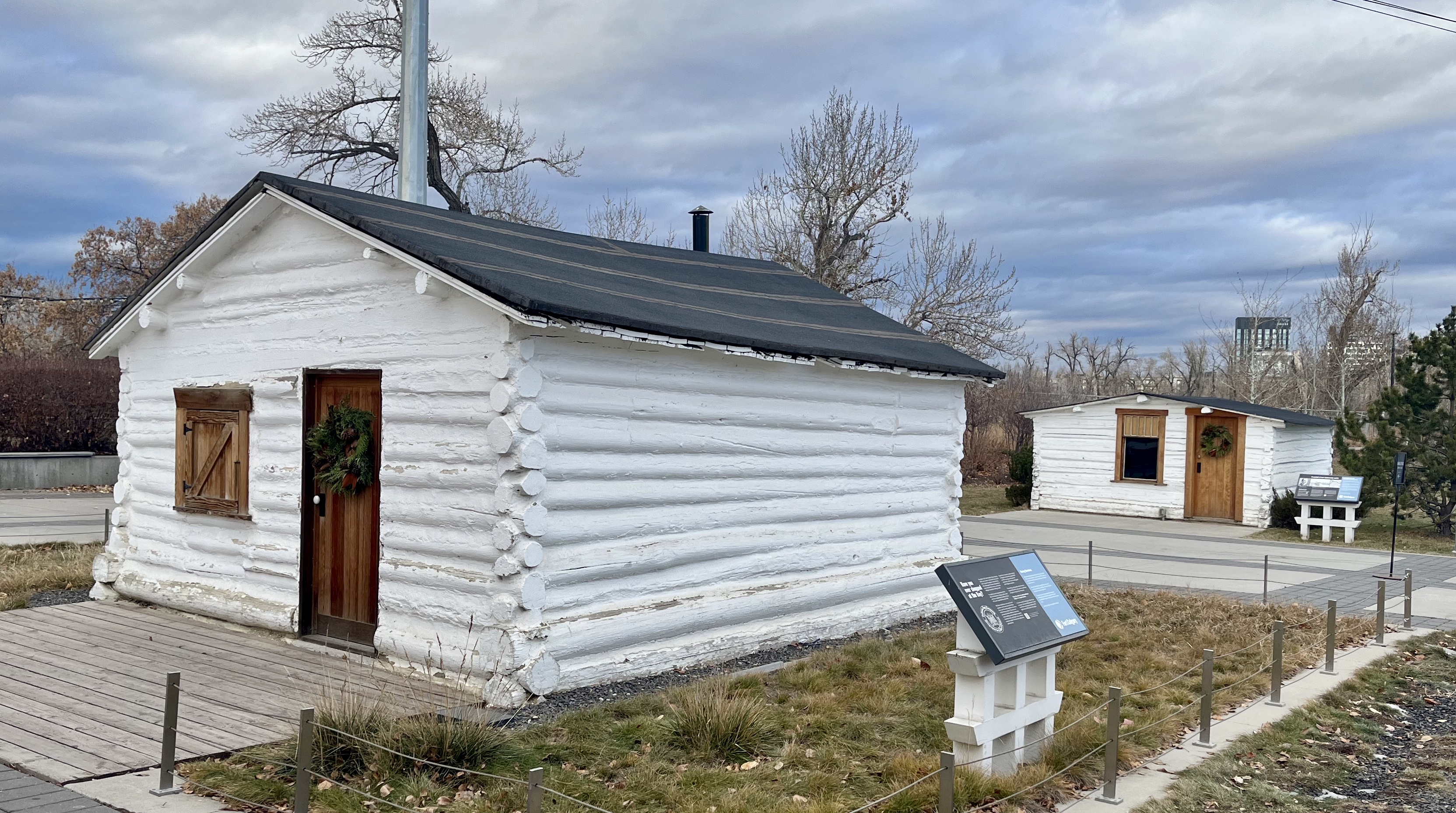

It was constructed as a residence for employees at the Hudson’s Bay Post. The HBC moved to the Hudson Block on the west side of the river. They did this after the Canadian Pacific Railway arrived at its new station in 1883. This became part of the story Behind Stephen Avenue.
The legacy of the HBC as a company came to an end this year. It is a great time to reflect on the impact the retailer had on the Canadian experience.
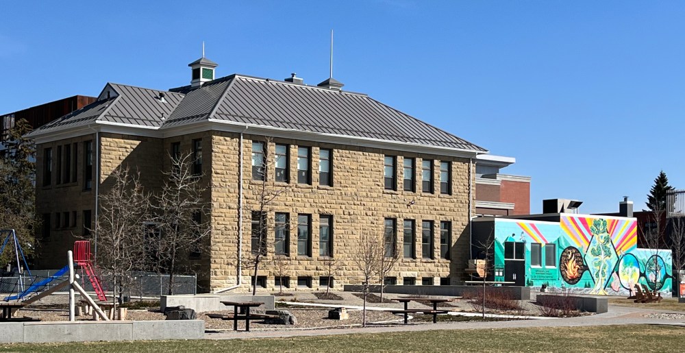
If you take 8th Avenue, you will see the New East Ward (Alexandra) School. Built in 1902, it was the second sandstone school constructed in the city. It shows the progression from the first one-room schoolhouse. Learn more at Old Schools.
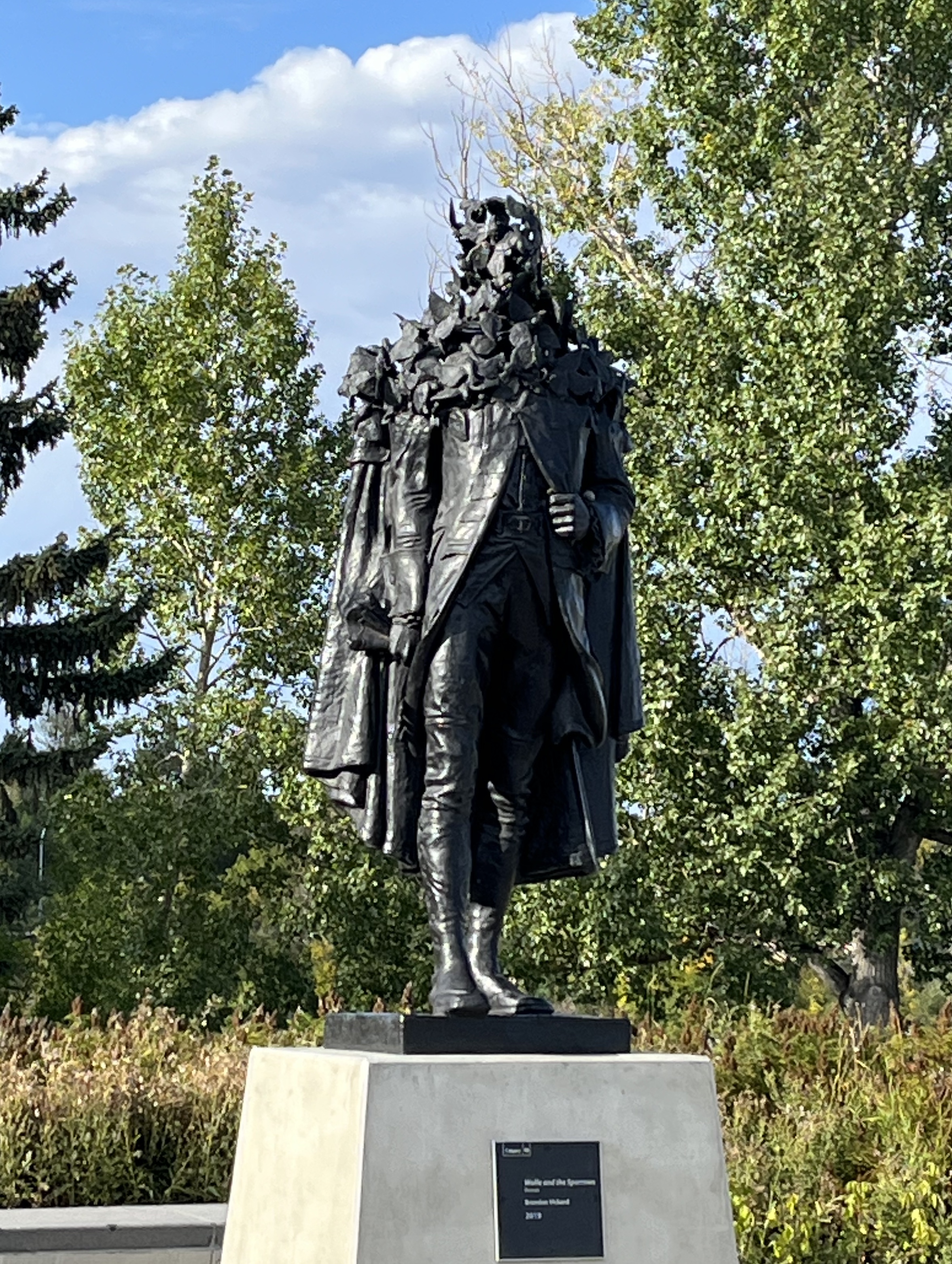
This guide concludes at the southwest corner of the 12th Street Bridge. There you will find Wolfe and the Sparrows. This cast bronze sculpture was created by Branden Vickers in 2019. It was inspired by an existing statue of General James Wolfe. In this version, the head is distorted by a flock of sparrows.
Community Challenge
Your challenge, should you choose to accept it, is to complete this bike or run in June. The Community Challenge is a national physical activity and sport initiative. It encourages everyone in Canada to get active throughout June in search of Canada’s Most Active Community. The winning community will be awarded $100,000 to support local sport and physical activity initiatives. To learn more, check out our EVENTS.
