Calgary has the most extensive urban pathway and bikeway network in North America.
The City of Calgary maintains approximately 1000 km of regional pathways and 96 km of trails. These pathways and trails allow you to explore the mix of natural and curated landscapes. There are another 290 km of on-street bikeways and cycle tracks, plus the Rotary/Mattamy Greenway. This 138 km pathway loops around the city.
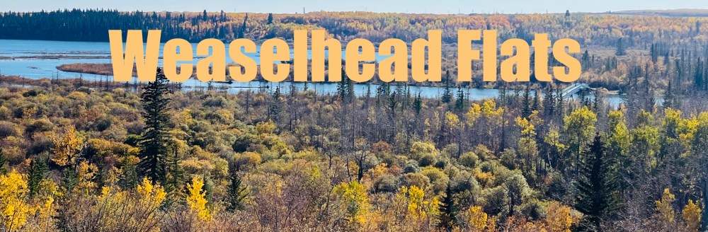
With so much to explore, we wanted to feature a unique place to escape the city without actually leaving it. Tucked in the southwest, the Weaselhead Flats Natural Environment Park is a gem of urban wilderness.
When this post was originally written in 2022, the Urban Explorer called Weaselhead Flats the Best Trail for Fall. In 2021, four heat warnings, spanning 27 days, made it the fourth-hottest summer on record. The drier conditions allowed access to trails that were often saturated and muddy.
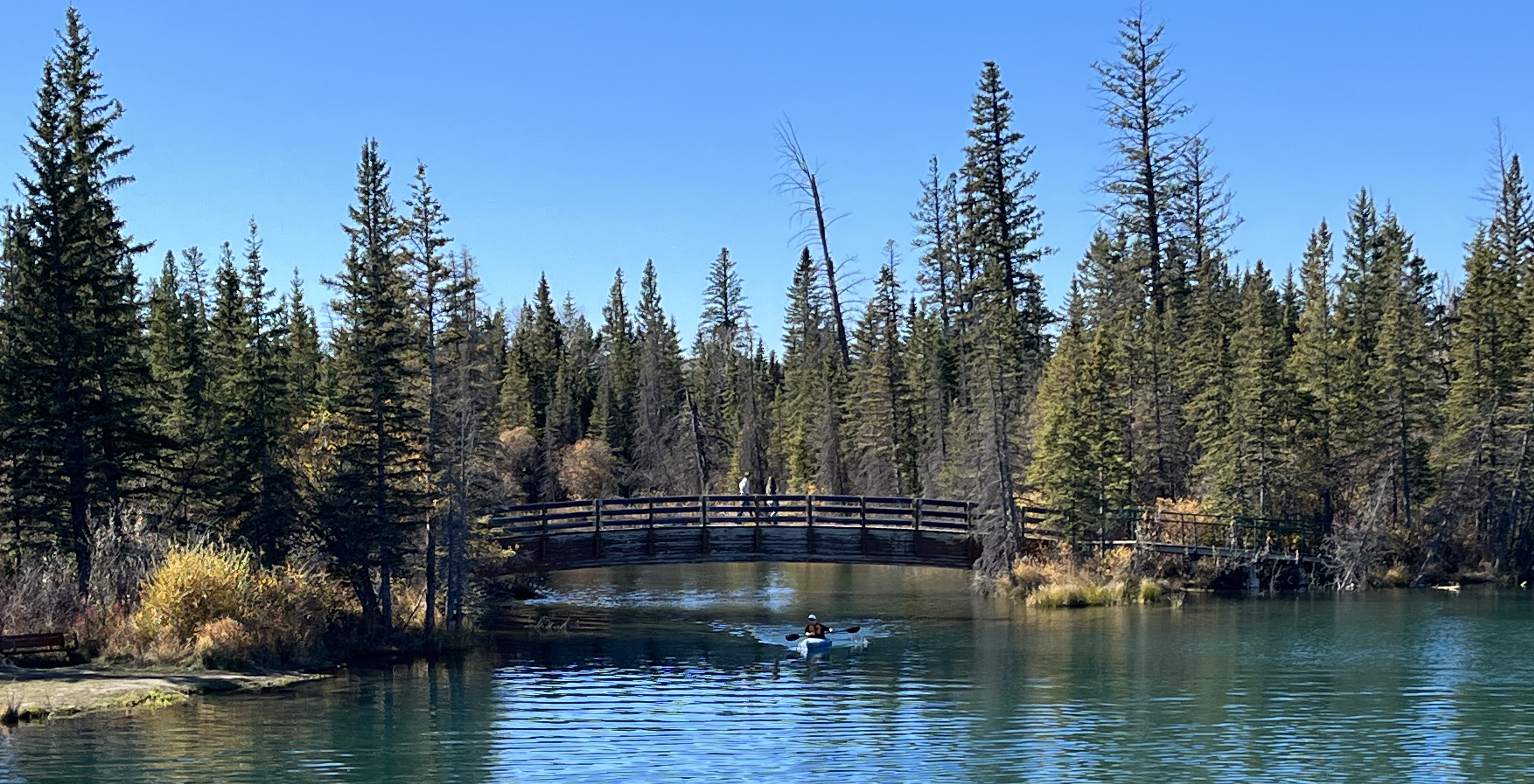
These warmer conditions have made these drier conditions the new norm. A wetter summer in 2025 with 167.5 mm of rainfall has resulted in some wetter areas and higher water levels, which is perfect for kayaking. But with only .4 mm of precipitation in September, it marked the lowest monthly levels in over a century. Most paths are dry and accessible for exploration.
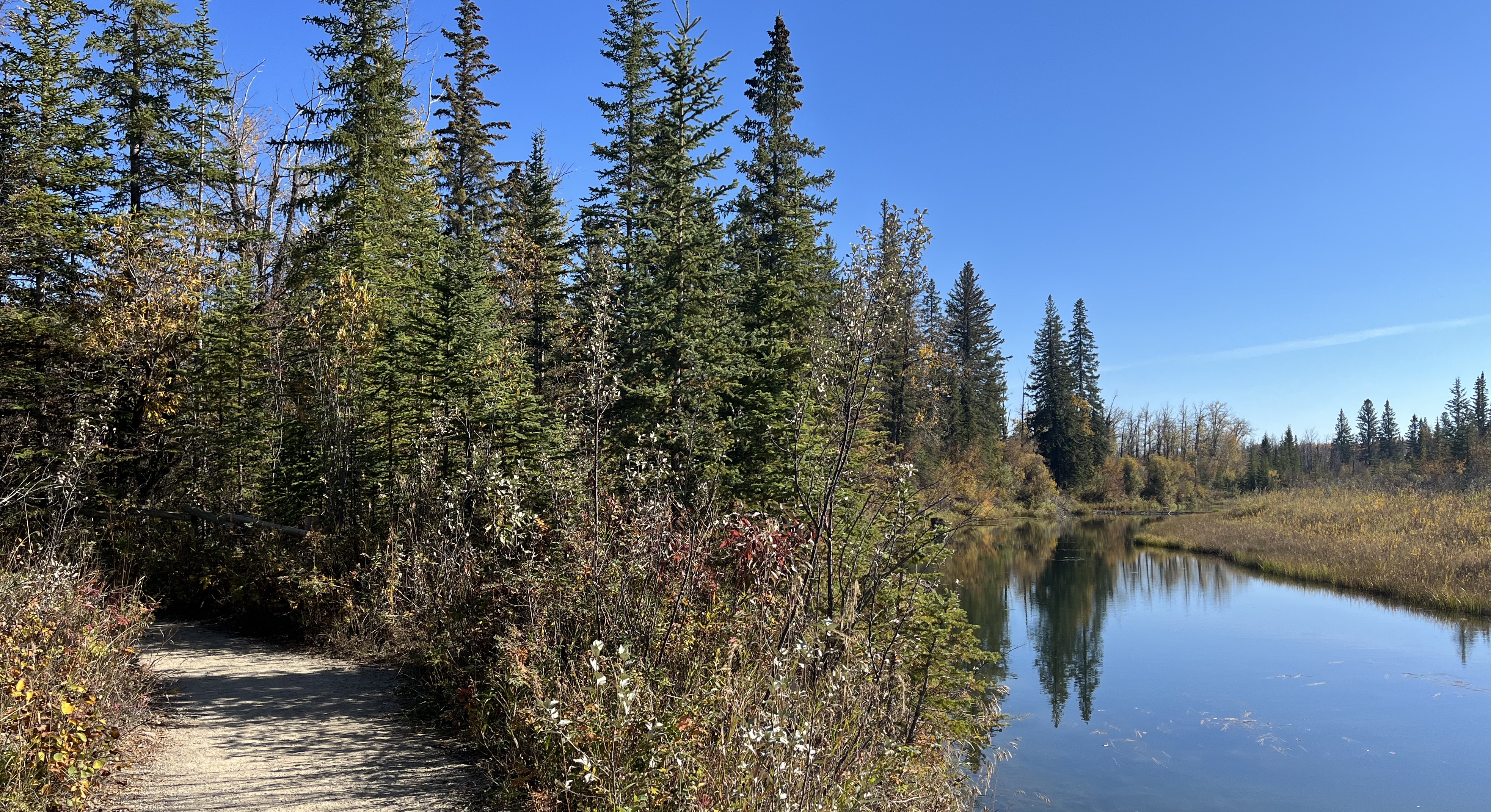
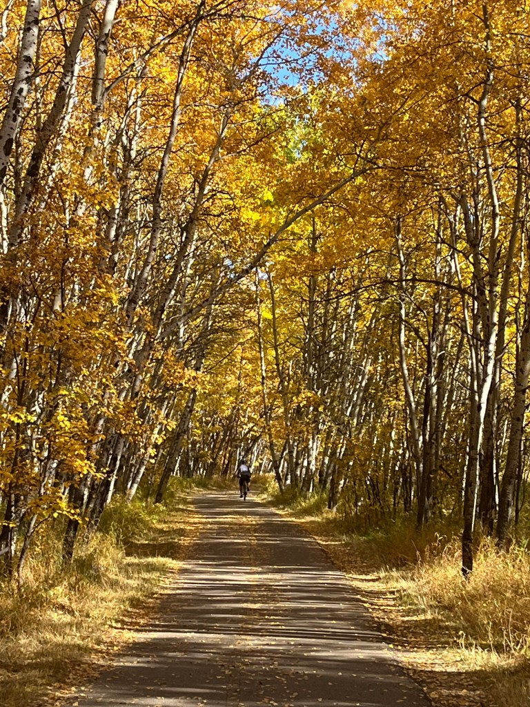
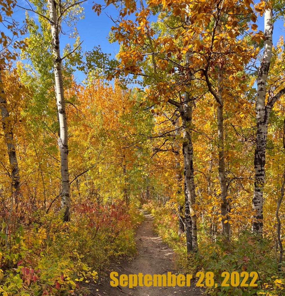
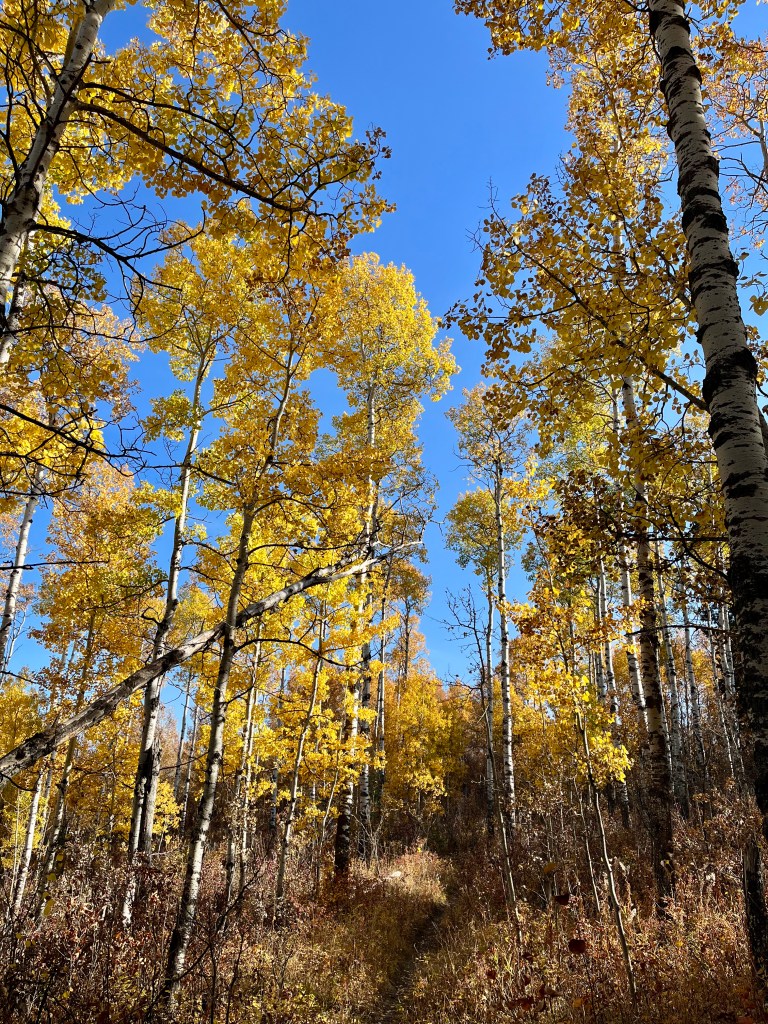
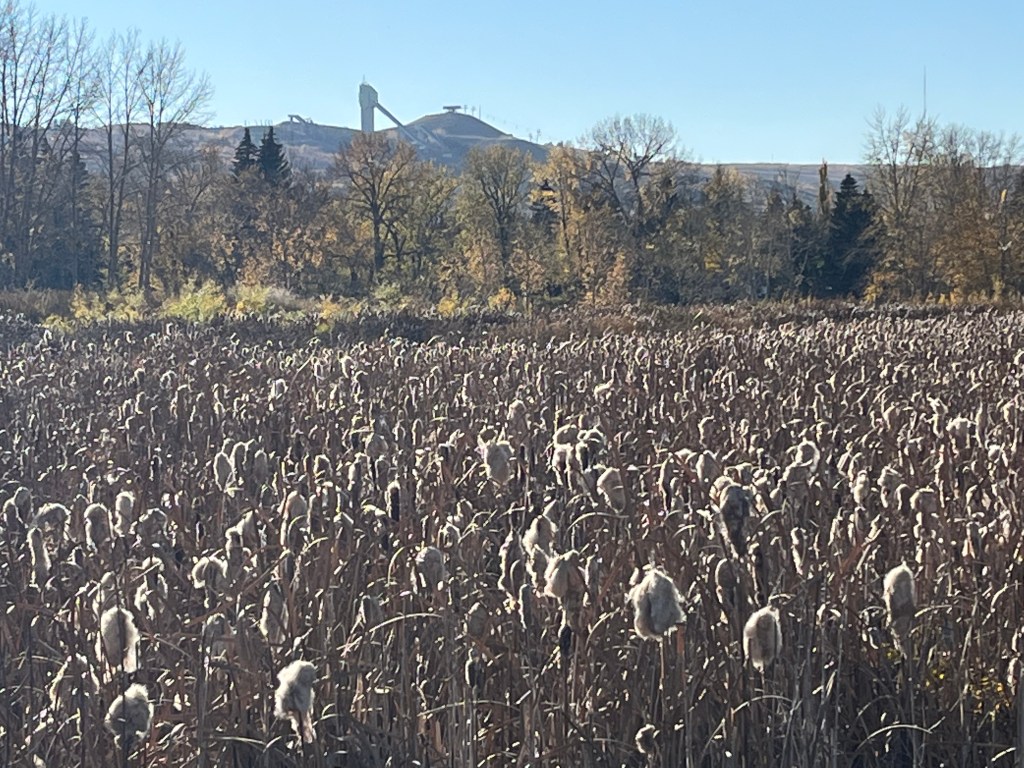
Once in the flats, you will become fully aware of nature’s changing cycles. Here you can appreciate the vivid hues of autumn colours. The dense urban forest surrounds you, providing dappled light that creates a unique atmosphere in an urban setting.
It’s quieter than the summer months, making wildlife easier to spot. Butterflies, migrating birds, and smaller creatures are enjoying the changing season with only a few people on weekdays. In the open waters, look for species you are unlikely to see in other parks. These include Common Loons and Tundra Swans.

We are revisiting this post now because a 470-acre master-planned neighbourhood will soon sit above the park. Extending from the crossroads of Tsuut’ina Trail and Glenmore Trail, this new development will likely change this area forever.
History
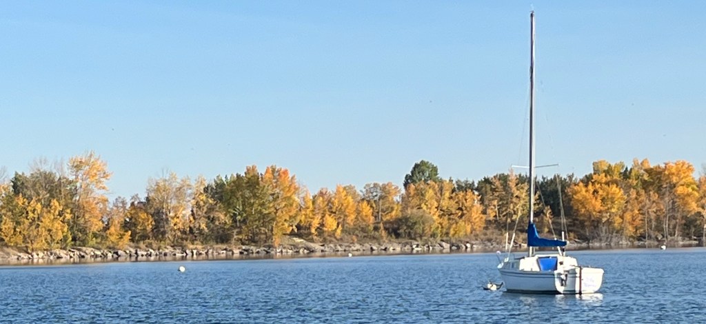
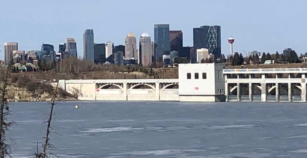
The Glenmore Reservoir was created as a result of constructing a concrete gravity dam in 1932 for $3.8 million. This led to the development of the flats.

The dam enabled the City of Calgary to provide a safe supply of drinking water. It also controls the downstream flow of the Elbow River. This control allowed the development of properties near the riverbanks with a reduced risk of flooding.
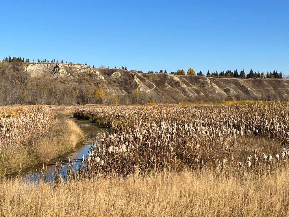
As the Elbow River flows into the reservoir, it deposits sand and gravel. This creates a network of bars, channels and marsh areas. This is the only example of this type of habitat, called a delta, in the city. It demonstrates how man-made and natural landscapes can interact in harmony.
The park was created in the early 80s. It occupies about 237 hectares and acts as the western corridor between North and South Glenmore Parks.
To take a deep dive into the history of the park, visit the Weaselhead Glenmore Park Preservation Society here.
Urban Forest
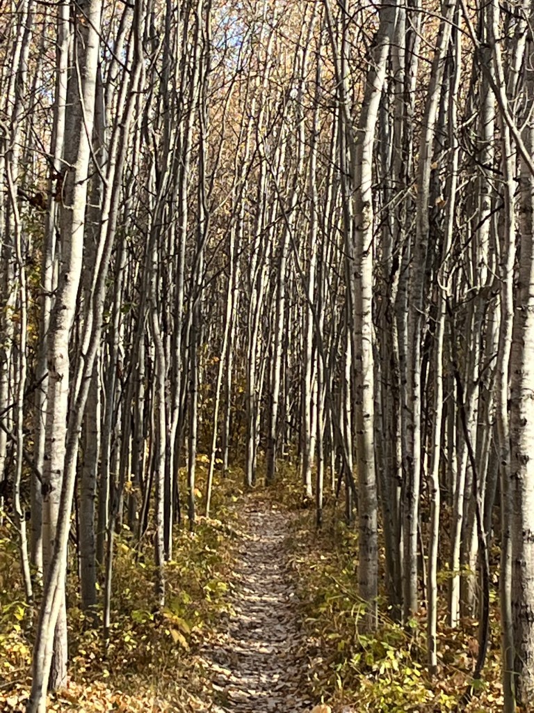
Weaselhead Flats is predominantly a deciduous forest. This means the trees lose their leaves in the fall. These trees are on the flats and valley walls. It also holds one of the largest stands of coniferous forest.

There is a White Spruce forest on the south shore. Wetter areas are primarily Balsam Poplar, while drier areas are Trembling Aspen. Also on the flats is an extensive tall shrub community consisting mainly of Sandbar Willows and Water Birch.

How to Get There
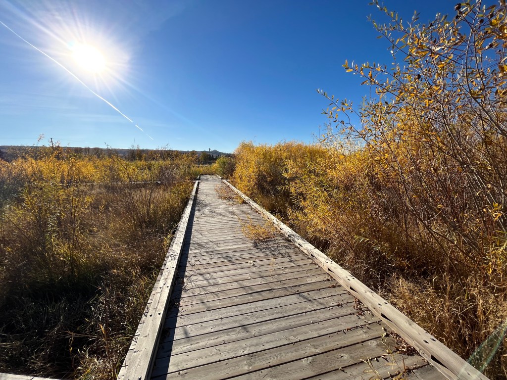
There is a parking lot and access point on the north side at 66 Ave and 37 St. You can explore trails like the Oxbow, Pink and Red Loops, which are under 5 km each and pedestrian-only.


If you prefer more active transportation, use the Glenmore Reservoir loop. It is approximately 15 km of the multi-use pathway with many access points. Check out Glenmore Reservoir – Summer Recreation and Heritage Park to learn more.
Dale Hodges Park – Best Trail Runner-up
The winner of a 2022 Mayor’s Urban Design Award for civic design projects. Dale Hodges Park is a transformative landscape. The park makes the stormwater treatment process visible as it travels through a series of curated experiences to the Bow River.
Credit to The City of Calgary for maintaining the pathways and trails that connect communities, parks and natural areas. They also offer an incredible online resource to support that system.
Check out The City of Calgary bikeways and pathways map.
